Description
VNC – VFR Navigation Chart
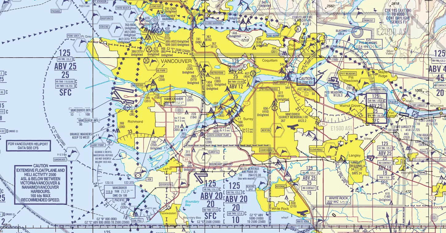
The VFR Navigation Chart (VNC) is used by VFR pilots on short to extended cross-country flights at low to medium altitudes and at low to medium airspeeds. The chart displays aeronautical information and sufficient topographic detail to facilitate air navigation through the use of a unique colour scheme, layer tinting, and shaded relief.
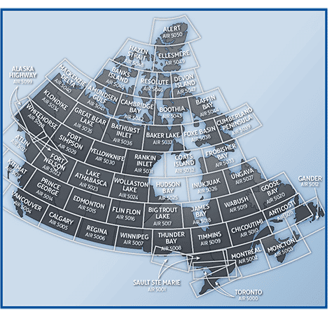
There are 52 charts in the series. The scale is 1:500,000.
Use in Pilot Training
Students will use the VFR Navigation Charts when conducting any pilot training towards a license. All of these maps are available electronically, however we prefer to use the paper maps as it is easier to use in an aircraft. Additionally, when completing any Transport Canada exam, you will not be given an iPad or tablet, you will be given a piece of paper and pencil to complete the exam.
The skills learned with the paper VNC will help students moving forward in all types of pilot training.




Reviews
There are no reviews yet.